


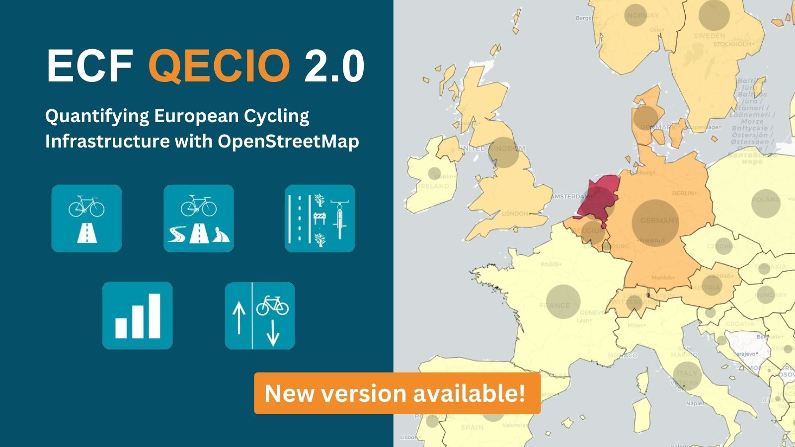

This version expands on the first edition, launched in 2022, providing more information and data across the interactive maps. It is built on OpenStreetMap, a free geographic dataset.
BRUSSELS – The European Cyclists’ Federation launches the second edition of Quantifying Europe’s Cycling Infrastructure using OpenStreetMap (QECIO 2.0), a dynamic tool that maps and visualises cycling infrastructure in Europe across five distinct maps.
Planners, researchers and cycling advocates will benefit from the data driven insights that QECIO 2.0 offers. ECF hopes that this tool will support better decision making on the development of cycling infrastructure, and support the campaigns of cycling advocates. Jill Warren, CEO of ECF said: “Decision making is increasingly data driven, and this new version of QECIO provides exciting new features that will support the tracking and development of cycling infrastructure.”

This version expands on the first edition, launched in 2022, providing more information and data across the interactive maps. It is built on OpenStreetMap, a free geographic dataset.
QECIO 2.0: What’s new?
QECIO 2.0 analyses 338,543 km of cycling infrastructure in 37 countries, across 1,166 regions (NUTS 3). Compared to the previous edition, it includes more types of cycle infrastructure, examines additional OpenStreetMap (OSM) tags and displays the information in five detailed interactive maps. Whereas the map from the previous version only displays the ratio of cycling infrastructure to the main road network, the new maps display the following:
- The ratio of segregated cycle infrastructure to main roads
- The ratio of extended cycle infrastructure to all public roads
- The ratio of cycle tracks to main roads (including information on surfaces)
- The availability of additional data about cycle infrastructure, including surface, smoothness and width
- The ratio of streets with contraflow cycling allowed to the total length of local one-way streets.
Within each map, the user can click on a country of interest to see a chart with a more detailed analysis. It is also possible to see a map of that country with a breakdown by region, thus allowing for a comparative analysis at the national level as well. The maps are accompanied by graphs which provide further country-by-country information for the user. We also provide data on the different types of cycle networks that exist and these can be downloaded and analysed by the user.

Theodore is the Co-Founder and Managing Editor of TravelDailyNews Media Network; his responsibilities include business development and planning for TravelDailyNews long-term opportunities.